Safety First: Here’s Where the Worst Flood Zones Are in Cheyenne
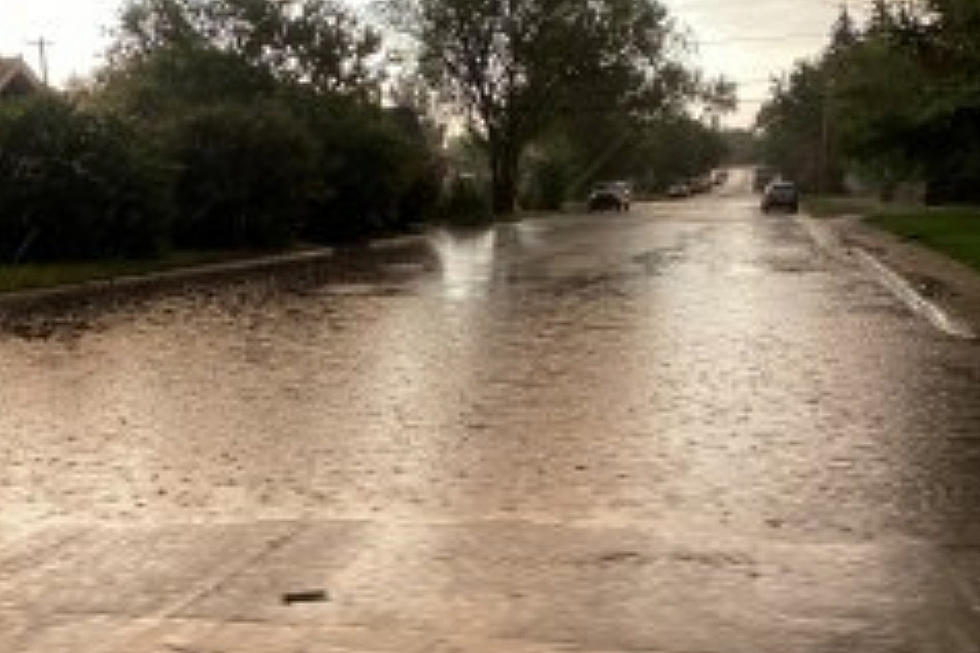
It's been an unusually wet June for Cheyenne. Scratch that; it's been an unusually wet last few months here in our Capital City. The city is lush with verdant grass, sweet-smelling flowers, and leaf-ladened trees. As beautiful as all this greenery is, with all that water comes some risk.

Have you walked around Lake Minnehaha in Holliday Park lately or perhaps glanced at the creekbeds of Crow Creek? Water glistens higher than it has in years. And it's only June.
Any Cheyenne resident worth their salt knows that July and August mark flash flooding season in the city. In an average year, when monsoonal moisture from the Desert Southwest and Mexico triggers torrential downpours in SE Wyoming, it's not uncommon to see Lincolnway become a river. And that's during a typical year when we see drier spring conditions.
Since late March, the National Weather Service has warned of flooding in SE Wyoming. With the worst of summer thunderstorms still ahead of us, Cheyenne will likely see flash flooding in the peak summer months.
What Areas of Cheyenne Are Most Prone to Flooding?
Some areas of Cheyenne will be more prone to flooding than others. The Federal Emergency Management Agency (FEMA) and Laramie County Emergency Management maintain flood maps indicating areas of the city prone to flooding. On the maps, you'll find two types of flooding locations indicated: flooding hazards and special flood hazards.
Flood Hazards are mapped by FEMA and indicate drainage ways like springs and creeks. Special Flood Hazard Areas are points mapped by the City that are not along drainage ways.
A vast majority of flood hazards in Cheyenne run along the city's natural drainage systems:
- Crow Creek
- Dry Creek Basin
- Clear Creek Basin
- Little Bear Creek
- Lodgepole Creek
- Porter Draw
- Allison Draw
- Child's Draw
The Laramie County Floodplain Map contains a detailed illustration of floodplains and special flood hazards in and around the city. Paths illustrated in Dark Blue are FEMA flood hazards running along the natural flood plains of the city. The special hazards of Cheyenne appear as lighter blue pools on the map and include:
- Capitol Basin
- Holliday Basin
- East Lincolnway Basin
- Henderson Basin
- Clear Creek Basin
Lakes, ponds, and reservoirs are also marked on the map as possible flood zones.
In terms of where in Cheyenne floods are more likely to happen - honestly, the answer is simple. The closer a FEMA-designated flood hazard or a special hazard in Cheyenne, the more likely the risk of flooding.
Neighborhoods running along Allison Draw on College, for example, are at a higher risk of flooding. So are the neighborhoods near Crow Creek on Dell Range and along Cheyenne's Greenway.
You can find more detailed information on locations with higher-flood risk in Cheyenne by visiting the Laramie County Floodplain Map here.
And, for flood safety tips, check out the Laramie County Flood Information Page here. Or, visit the City of Cheyenne's Floodplain Management document by clicking here.
May 24 Landspout Spirals Over Cheyenne
More From Wake Up Wyoming


