Winter Storm Watch Late Wednesday into Thursday
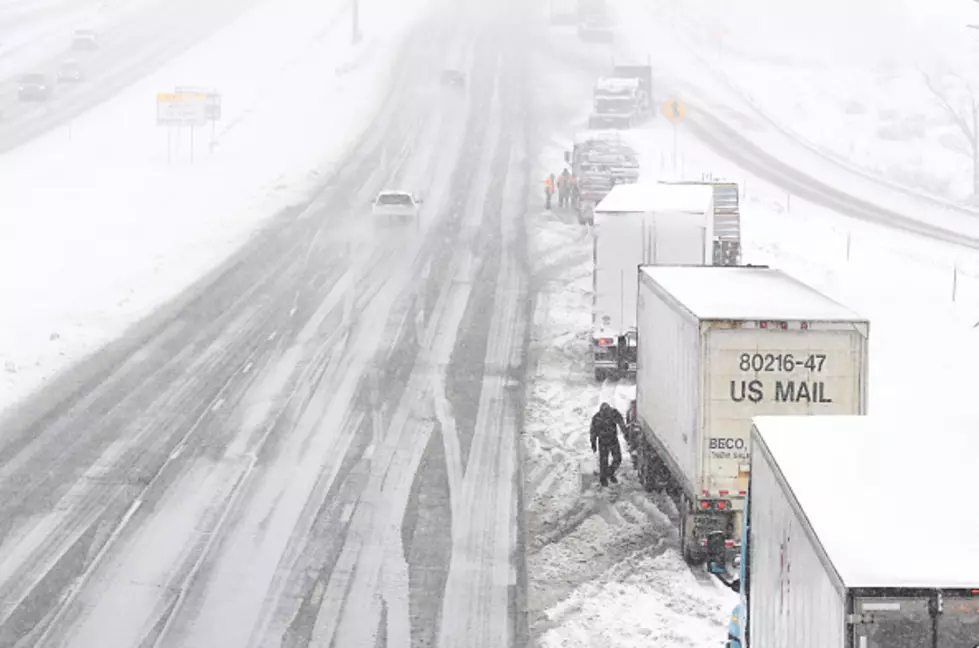
The National Weather Service in Cheyenne has issued a Winter Storm Watch in effect from late Wednesday through Thursday afternoon. The watch area includes much of southeast Wyoming, including the cities of Cheyenne and Laramie.
URGENT - WINTER WEATHER MESSAGE
National Weather Service Cheyenne WY
231 PM MDT Tue Apr 14 2020

...A developing winter weather storm will bring accumulating snow
to southeast Wyoming Wednesday afternoon through Thursday
Afternoon...

.A late season winter storm expected to bring heavy snow
accumulation across much of southeastern Wyoming and the southern
Nebraska Panhandle. Models have been consistent in the fact that
this descending 700 mb low across Colorado will bring snow though
confidence in the true swath location of heaviest banded snow
still differing at 24 hours out to warrant a winter storm watch at
this time. Some localization topographic higher amounts certainly
possible along the Cheyenne Ridge and northward to the Pine Ridge
in Niobrara County.

NEZ019>021-054-055-WYZ101-102-104>110-115-118-119-151200-
/O.EXB.KCYS.WS.A.0011.200416T0000Z-200417T0000Z/
Scotts Bluff County-Banner County-Morrill-Kimball County-Cheyenne-
Converse County Lower Elevations-Niobrara County-
Ferris/Seminoe/Shirley Mountains-Shirley Basin-
Central Laramie Range and Southwest Platte County-
East Platte County-Goshen County-Central Carbon County-
North Snowy Range Foothills-Laramie Valley-Central Laramie County-
East Laramie County-
Including the cities of Scottsbluff, Gering, Harrisburg, Angora,
Bridgeport, Bayard, Redington, Kimball, Brownson, Sidney, Bill,
Douglas, Deer Creek, Glenrock, Lusk, Redbird, Seminoe Dam,
Medicine Bow, Shirley Basin, Bordeaux, Wheatland, Guernsey,
Torrington, Rawlins, Arlington, Elk Mountain, Bosler, Laramie,
Cheyenne, and Pine Bluffs
231 PM MDT Tue Apr 14 2020

...WINTER STORM WATCH IN EFFECT FROM WEDNESDAY EVENING THROUGH
THURSDAY AFTERNOON...

* WHAT...Heavy snow possible. Total snow accumulations of 6 to
  10 inches possible.

* WHERE...Portions of Southeastern Wyoming and the southern half
  of the Nebraska Panhandle.

* WHEN...From Wednesday evening through Thursday afternoon.

* IMPACTS...Travel could be very difficult to impossible
  Wednesday evening through Friday morning. Plan on travel
  delays and snow covered roads.

* ADDITIONAL DETAILS...Any outdoor enthusiasts should exercise
  caution and plan their trips accordingly as moderate to heavy
  snow may limit visibility causing one to become disorientated
  quickly.

PRECAUTIONARY/PREPAREDNESS ACTIONS...

Monitor the latest forecasts for updates on this situation.

&&

Enter your number to get our free mobile app
KEEP READING: Check out these totally awesome '80s toys
More From Wake Up Wyoming


