60+ MPH Gusts Likely Along I-25 Near Wheatland Wednesday Morning
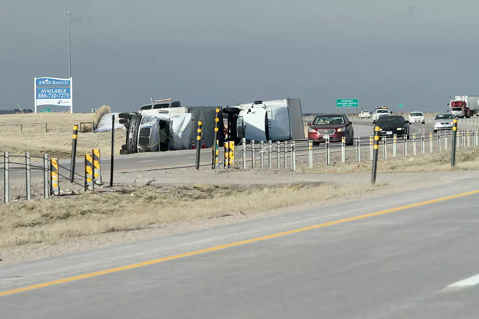
Travel along Interstate 25 south of Wheatland could be difficult Wednesday morning, especially for light and high-profile vehicles, as 60-plus mph wind gusts are expected to blast the area.
A High Wind Watch is in effect for the central Laramie Range and southwest Platte County from 3 a.m. to 9 a.m. Wednesday.
URGENT - WEATHER MESSAGE
National Weather Service Cheyenne WY
252 AM MST Tue Jan 26 2021

WYZ106-262300-
/O.NEW.KCYS.HW.A.0006.210127T1000Z-210127T1600Z/
Central Laramie Range and Southwest Platte County-
Including the city of Bordeaux
252 AM MST Tue Jan 26 2021

...HIGH WIND WATCH IN EFFECT WEDNESDAY MORNING...

* WHAT...West winds 35 to 40 mph with gusts up to 60 mph
  possible.

* WHERE...Central Laramie Range and Southwest Platte County
  County.

* WHEN...From 3 AM TO 9 AM WEDNESDAY MST.

* IMPACTS...Damaging winds could blow down trees and power
  lines. Widespread power outages are possible. Travel could be
  difficult, especially for high profile vehicles.


PRECAUTIONARY/PREPAREDNESS ACTIONS...

Monitor the latest forecasts and warnings for updates on this
situation. Fasten loose objects or shelter objects in a safe
location prior to the onset of winds.
The National Weather Service in Cheyenne issued the following statement Tuesday morning:
Winds are expected to increase along Interstate 25 south of Wheatland Wednesday morning with locally strong wind gusts to 65+ mph. Elsewhere, breezy conditions are expected. Use caution, especially if traveling in light, high profile vehicles, including camper trailers! For the latest forecast: weather.gov/cheyenne. For road conditions: wyoroad.info.

LOOK: Historical Wyoming License Plates Since 1914
EXPLORE: The 10 Smallest Towns in Wyoming
More From Wake Up Wyoming