Four Unique Facts About Monday’s Tornado
Monday evening's Weld County tornado is the first time I have ever seen a real-life tornado. I have seen a couple of funnel clouds in my day, but none of those funnel clouds ever touched down.
Meteorologist Corey Reppenhagen from 9 News recently shared some interesting facts about the tornado from Monday.

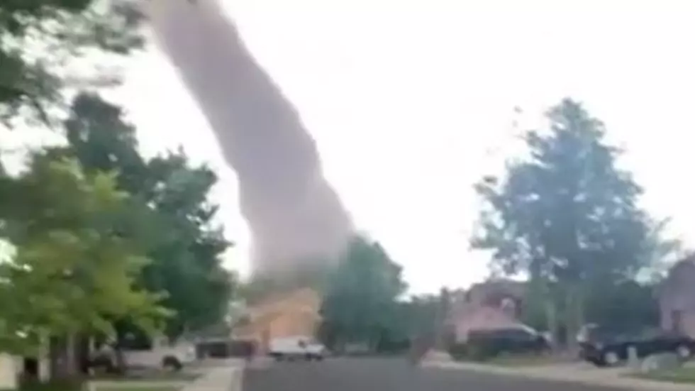
It was a Landspout
A landspout tornado forms without the assistance of a rotating thunderstorm. This tornado formed with the help of spinning air that was at ground level. The updraft from the storm pulled the spinning air into the storm, forming the tornado.
Tall Tornado
Corey Reppenhagen states this is one of the tallest tornadoes in recent history. The National Weather Service is estimating that the tornado on Monday evening was more than 10,000 feet high. The sheer height of this tornado made it possible to witness by nearly five million people on the Front Range of Colorado. Reports of the tornado came in to 9 News from Golden, Parker, Kiowa, and Aurora.
Size and Strength
The strength of this particular tornado was strong for what it was. The tornado reached a wind speed of 99 miles per hour. Non-supercell tornadoes have a usual wind speed of approximately 80 miles per hour. The size of the tornado was estimated at 50 yards... 150 feet. When the tornado hit a couple of patches of dirt, this made the tornado appear much bigger than it actually was.
Number 293
The EF-1 tornado on Monday night makes this tornado 293 to touch down in Weld County since 1950. Weld County is the number one county in the nation for tornado touchdowns. The second-place county, Harris County in Texas, has 50 fewer tornado touchdowns.
You can see more facts about the tornado that touched down in Weld County Monday night HERE.
Source: 9 News
The Worst Parking Lots in Northern Colorado
9 Signs You Know You Are From Colorado

More From Wake Up Wyoming