Next Few Days Look Cold And Windy, More Snow For SE Wyoming
While the Cheyenne Office of the National Weather Service says that while the snow from the most recent storm should be tapering off in southeast Wyoming through the rest of the day, it looks like winter weather will continue for a while.
The agency posted this statement on its website:
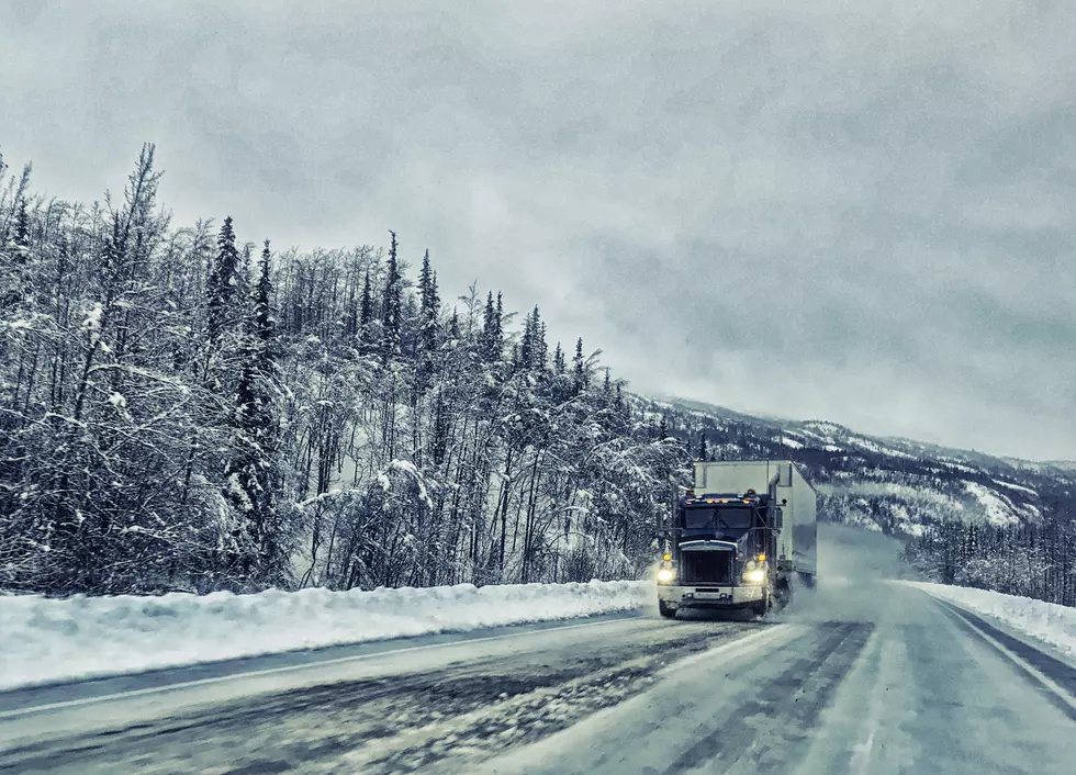
''Light snow showers continue to fall across Southeast Wyoming and the Nebraska Panhandle this morning. The snowfall rates have been slowing down over the past few hours, but light snow should continue through the morning. Tuesday afternoon highs will only reach the upper teens, maybe low 20s east of the Laramie Range and remain around 10 degrees west. Heading into Wednesday, windy weather looks to return along with blowing snow with the recent snowfall. Hazardous travel is possible, especially across the wind prone areas of Southeast Wyoming. Looking ahead, windy conditions will continue into Wednesday night and Thursday while snow returns to the forecast for the Sierra Madre and Snowy Mountains. Significant snowfall amounts of 2-3 feet are possible for the higher elevations Wednesday night through Friday. Be prepared if planning any outdoor recreation in the mountains later this week. Additionally, heavy snowfall may be possible for the I-25 corridor during the day Friday so stay tuned for updates as we learn more."

More From Wake Up Wyoming