NWS Cheyenne: Up to Tennis Ball-Size Hail Possible This Afternoon
Portions of southeast Wyoming and the Nebraska Panhandle could see hail up to the size of tennis balls this afternoon and evening, according to the National Weather Service in Cheyenne.
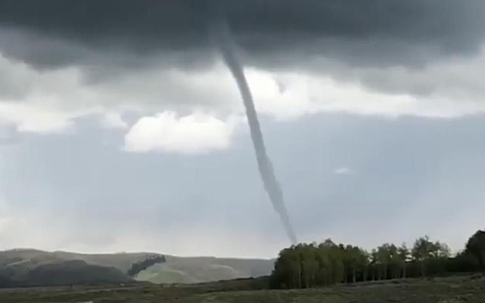
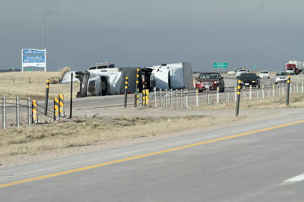
Up to 70 mph winds and localized heavy rain are also possible; and while the threat is low, the NWS says a tornado can't be ruled out either.
weather.gov/cys

Get our free mobile app
weather.gov/cys
The NWS says storms will start over the mountains around 1 p.m. and shift east over the high plains and into the Nebraska Panhandle through 7 p.m.
weather.gov/cys
WYOMING WEATHER: The Most Destructive Tornado in Wyoming's History - July 16, 1979 Cheyenne Tornado
READ MORE: FLASHBACK - Laramie, WY Tornado June 6, 2018
More From Wake Up Wyoming


