Projected Snowfall Totals With SE Wyoming Winter Storm
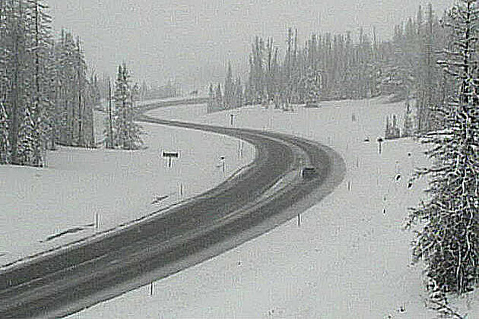
The Cheyenne Office of the National Weather Service says some communities could get two to three feet of snow with a major winter storm that is expected to get underway today.
It looks like Cheyenne and Laramie will get lesser amounts of snow, somewhere between four and six inches, according to the latest forecast. But Lusk could get three feet, as could Harrison, Nebraska.
That's according to a graphic the agency has published on its website:
A high-impact winter storm will move through southeast Wyoming and western Nebraska Monday through Tuesday night. Extreme impacts are expected, especially in east-central Wyoming through northwest Nebraska!
Here is the forecast for Cheyenne:
Overnight
A 20 percent chance of snow showers. Mostly cloudy, with a low of around 30. East-southeast wind around 10 mph.
Monday
A 30 percent chance of showers, mainly after 5 pm. Partly sunny, with a high near 54. Breezy, with a south-southeast wind of 10 to 20 mph, with gusts as high as 30 mph.
Monday Night
A chance of rain showers before 9 pm, then a chance of snow showers and freezing drizzle between 9 pm and midnight, then snow showers after midnight. Some thunder is also possible. Low around 17. Blustery, with a southeast wind of 15 to 20 mph becoming north after midnight. Winds could gust as high as 30 mph. The chance of precipitation is 90%. Little or no ice accumulation expected. New snow accumulation of around an inch is possible.
Tuesday
Snow likely. Patchy blowing snow. Mostly cloudy, with a high near 21. Windy, with a north wind of 20 to 30 mph, with gusts as high as 45 mph. The chance of precipitation is 70%—new snow accumulation of 1 to 2 inches is possible.
Tuesday Night
A 20 percent chance of snow before midnight. Patchy blowing snow before 5 am. Mostly cloudy, with a low of around 12. Windy, with a northwest wind of 25 to 30 mph decreasing to 20 to 25 mph after midnight. Winds could gust as high as 45 mph.
Wednesday
Mostly sunny, with a high near 34. Breezy.
Wednesday Night
Partly cloudy, with a low around 14.
Thursday
Sunny, with a high near 42. Breezy.
Thursday Night
Mostly clear, with a low around 23.
Friday
Sunny, with a high near 56.
Friday Night
Partly cloudy, with a low around 34.
Saturday
Sunny, with a high near 64. Breezy.
Saturday Night
Partly cloudy, with a low of around 38. Breezy.
Sunday
Mostly sunny, with a high near 61. Breezy.
Here is the Laramie forecast:
Monday
A chance of snow showers before 3pm, then a chance of rain and snow showers between 3 pm and 5 pm, then a chance of snow showers after 5 pm. Mostly cloudy, with a high near 46. Breezy, with a south-southeast wind of 15 to 20 mph, with gusts as high as 30 mph. The chance of precipitation is 50%.
Monday Night
Snow showers. Some thunder is also possible—low around 13. Southeast wind around 15 mph coming north in the evening. Winds could gust as high as 25 mph. The chance of precipitation is 90%—new snow accumulation of 2 to 4 inches is possible.
Tuesday
Snow. Patchy blowing snow after 8 am. High near 17. Wind chill values are between -5 and zero. Blustery, with a north wind of 15 to 25 mph, with gusts as high as 35 mph. The chance of precipitation is 90%—new snow accumulation of 1 to 3 inches is possible.
Tuesday Night
A 30 percent chance of snow before midnight. Patchy blowing snow. Cloudy, then gradually becoming partly cloudy, with a low of around 10. Blustery, with a northwest wind of about 25 mph, with gusts as high as 40 mph.
Wednesday
Patchy blowing snow before 5 pm. Mostly sunny, with a high near 26. Blustery.
Wednesday Night
Partly cloudy, with a low around 13. Blustery.
Thursday
Sunny, with a high near 36. Breezy.
Thursday Night
Mostly clear, with a low around 23. Breezy.
Friday
Mostly sunny, with a high near 49. Breezy.
Friday Night
Partly cloudy, with a low around 34. Breezy.
Saturday
Mostly sunny, with a high near 55. Breezy.
Saturday Night
Partly cloudy, with a low of around 35. Breezy.
Sunday
Mostly sunny, with a high near 52. Breezy.
What's the Secret to Cooking Fried Chicken?
More From Wake Up Wyoming