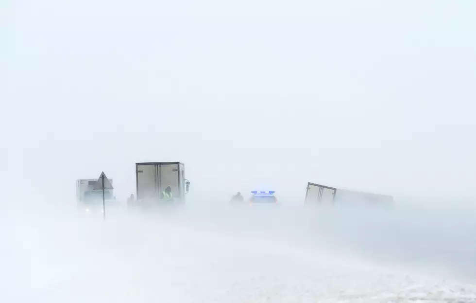
Rain, Snow Likely in Southeast Wyoming Mid to Late Week
Some portions of southeast Wyoming could see accumulating snowfall later this week, as a strong cold front sweeps across the area.
The National Weather Service in Cheyenne issued the following statement Monday:

A warming trend will continue through Tuesday, but the overall weather pattern will remain unsettled through the week. Scattered to numerous showers will develop across all of southeast Wyoming and the western Nebraska Panhandle this afternoon. A rumble of thunder cannot be ruled out. Winds increase across much of the area on Tuesday, with widespread gusts 40-50 MPH possible Tuesday afternoon across much of southeast Wyoming. A strong cold front will sweep across the area Wednesday and Thursday, forcing temperatures abruptly downward. Widespread rain is expected Wednesday night through Thursday, likely changing to snow for some areas. Specific details remain uncertain, but some portions of the area appear to have a good chance for accumulating snowfall.
More From Wake Up Wyoming