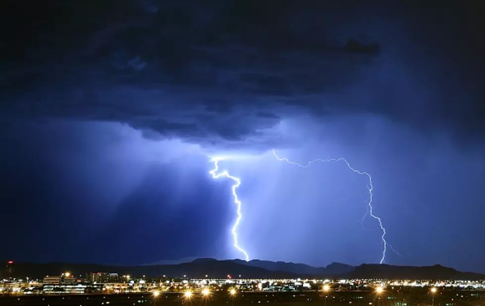
Severe Thunderstorms Possible In SE Wyoming, Nebraska Panhandle
The Cheyenne Office of the National Weather Service is warning about the possibility of strong to severe thunderstorms in parts of southeast Wyoming and the Nebraska Panhandle today (August 26).
The area most likely to receive severe weather does not include Cheyenne or Laramie. But it does include Torrington, Lusk, Scottsbluff, and several other communities.
The agency posted this statement on its website:
Scattered thunderstorms may become severe are possible today, generally across the Nebraska Panhandle and southeastern parts of Wyoming. Storms will move east and will begin to develop around 1 PM MDT then finally tapering off around 8 PM . The main threat area is highlighted in yellow but storms can form nearby the yellow focused area. The main hazards associated with these storms are strong wind gust, small hail, and flash flooding if a storm stalls. Frequent lightning will also be a threat. Stay weather aware today, and make sure you have a way to get the most up to date forecast and warning information: weather.gov/cys.
4 Of Wyoming's Worst Wildfires
More From Wake Up Wyoming