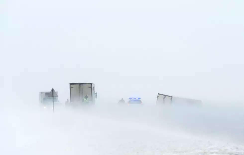
Snow Set to Return to Southeast Wyoming Thursday Night-Friday
Parts of southeast Wyoming could see several inches of snow Thursday night through Friday, according to the National Weather Service in Cheyenne.
The agency issued the following statement Wednesday morning:

620 AM MDT Wednesday, March 24 – Continued cool and dry for your Wednesday, other than a few lingering light snow showers early this morning. Highs will generally be in the 35 to 45 degree range, warmest across eastern portions of the Nebraska Panhandle. Snow chances will return to much of the area Thursday night through Friday. Any accumulations will generally be light, but a few localized areas could see several inches. A warming trend is expected through the weekend, with highs returning to the low to mid 60s over eastern areas by Sunday afternoon!
5 of the Biggest Spring Blizzards In Wyoming History
Pictures From Wyoming Snowpocalypse 2021
More From Wake Up Wyoming