Subzero Wind Chills, Blowing Snow Expected In SE Wyoming Storm
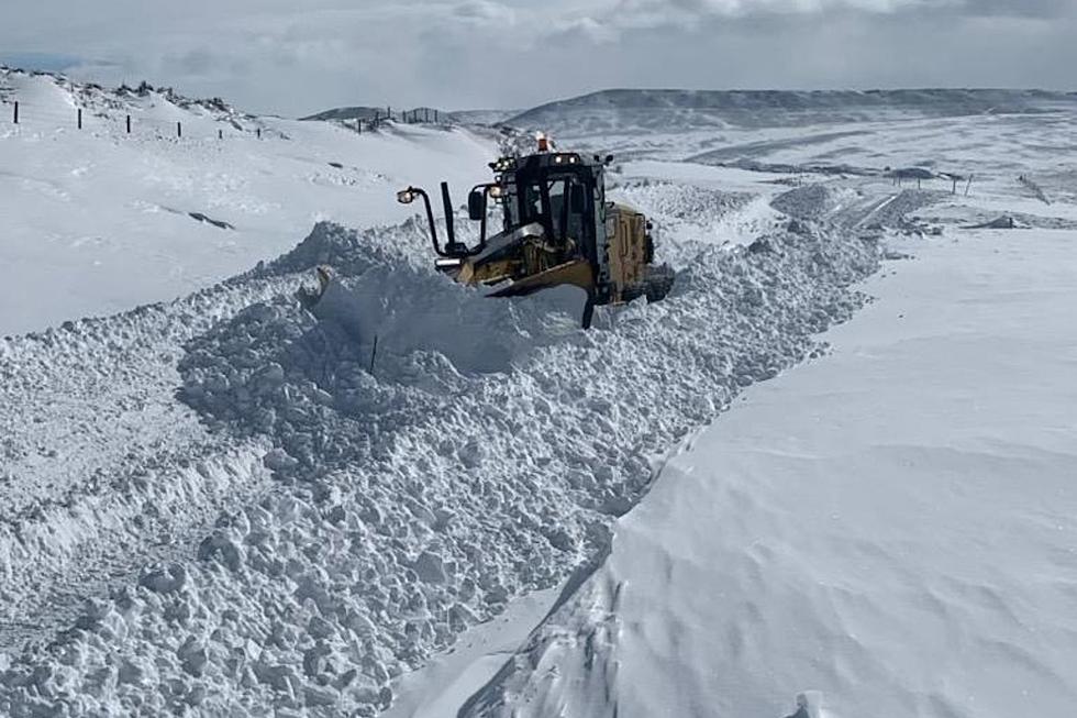
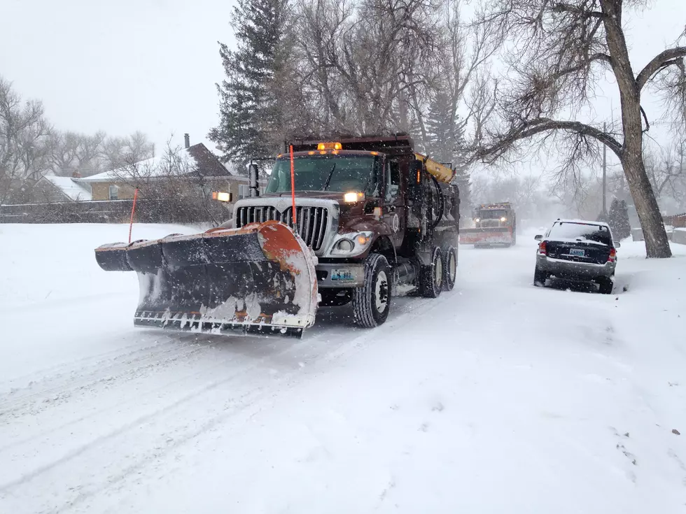
Forecasters with the Cheyenne Office of the National Weather Service are warning southeast Wyoming residents to be ready for icy, snow-packed roads, bitterly cold temperatures, and poor travel conditions on Sunday and Monday.
The agency posted this statement on its website:
''Increasing confidence for upcoming winter event beginning Saturday afternoon and continuing off and on through Monday morning. Looking at areas of southeast Wyoming and the Nebraska Panhandle seeing potential for widespread 2-4 inches of new snow along with localized higher totals along the Laramie Range and Interstate 80 between Cheyenne and Laramie. Areas in the Snowy Range could see upwards of 6-10 inches, which will be quite helpful for Mullen Fire containment. Additionally, temperatures will drop 40 to 50 degrees behind this anomalously strong cold front. Potential impacts include: snow-packed roads, lowered visibility in blowing snow, frigid temperatures and wind chills, and life threatening conditions to those recreating in the mountains and livestock in general. Please be cognizant of upcoming rapidly changing conditions and take the proper precautions to protect your life and property. As confidence increases, winter weather headlines may be warranted so please look for updates, and possible watches, warnings, and advisories.''

A Look Back At Cheyenne's Worst October Snow Storms
More From Wake Up Wyoming