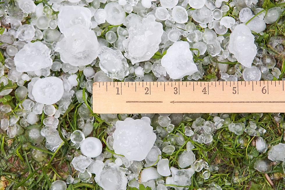
The Cheyenne Office of the National Weather Service is warning about the possibility of severe thunderstorms in southeast Wyoming and the Nebraska Panhandle today.
The Cheyenne Office of the National Weather Service says locally heavy rainfall is possible in southeast Wyoming today and Thursday.
Small hail and strong winds are also possible with the storms.
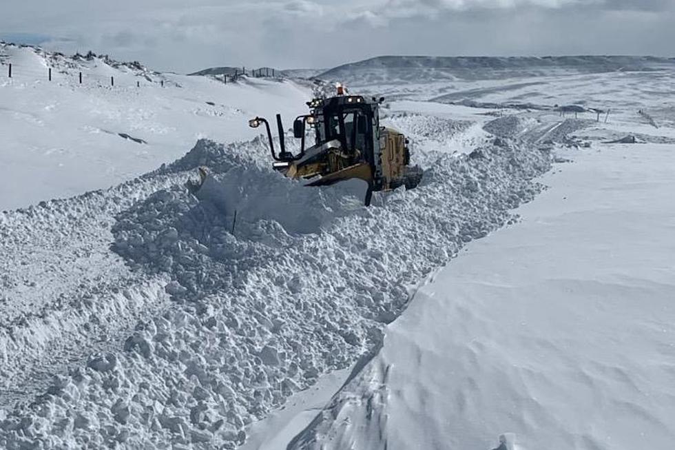
A winter storm beginning late Sunday night is set to potentially cause major impacts to portions of southeast Wyoming and western Nebraska due to heavy snow and blowing/drifting snow.
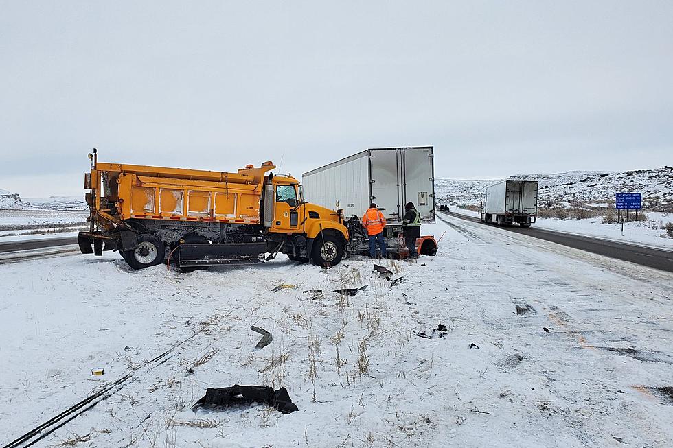
A Winter Weather Advisory for freezing fog and drizzle posted has been for southeast Wyoming, including Cheyenne and the summit on Interstate 80 between Cheyenne and Laramie.
We will begin to see a prolonged period of moderate to heavy snowfall for the Snowy and Sierra Madres Ranges where 1 to 2 feet of snow accumulation will be possible.