Wyo Monday Morning Winter Storm Update 02/03/20
In some parts of Wyoming, major roads have closed. In many other parts of Wyoming, travel has slowed to a crawl. WYDOT's Interactive map has real time information.
According to The National Weather Service, this winter storm could last into Tuesday.
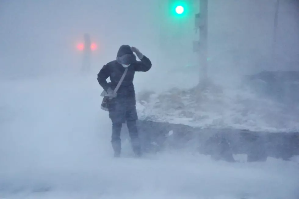
According to Don Day, of Day Weather, some parts of Wyoming will only get a few inches of snow while some will get over a foot. But the real problem will be wind blowing snow over the roads and bringing travel to a halt.
Below is the early morning update from The National Weather Service.
Mon Feb 3 2020

...Major Winter Storm is expected through Monday Night...

.Snow and gusty winds will impact much of the area today, with the
strongest winds occurring from western Natrona County to central
Sweetwater County. Near-blizzard conditions will occur in this
area. The heaviest snow will occur through early this afternoon.
The storm will impact most areas through this evening, then taper
off late Monday night.

...WINTER STORM WARNING REMAINS IN EFFECT UNTIL 5 AM MST
TUESDAY...

* WHAT...Moderate to Heavy snow.

* WHERE...Southeast Johnson County, Natrona County Lower
  Elevations and Casper Mountain.

* WHEN...Now through 5 AM MST Tuesday. The heaviest snow is
  expected into midday Monday.

* SNOW AMOUNTS...Total snow accumulations of 6 to 12 inches at
  the lower elevations. Snowfall of 10 to 15 inches on Casper
  Mountain.

* IMPACTS...Travel may be very difficult today.

* ADDITIONAL DETAILS...Areas of northeast wind of 25 to 35 mph,
  with higher gusts, will cause blowing and drifting snow. Near
  blizzard conditions will occur. Interstate 25 and Highway 20 26
  west of Casper will also be severely impacted.

PRECAUTIONARY/PREPAREDNESS ACTIONS...

If you must travel, keep an extra flashlight, food, and water in
your vehicle in case of an emergency.

The latest road conditions for the state you are calling from can
be obtained by calling 5 1 1.
More From Wake Up Wyoming

![Guide To Halloween Candy Trading [VIDEO]](http://townsquare.media/site/961/files/2020/10/gettyimages-135538531-170667a.jpg?w=980&q=75)