40 Years Ago, Mt St Helens Erupted With Ash Reaching Casper
Hard to believe it's been 40 years since Mt. St. Helens erupted. The ash cloud was so far reaching some of it ended up in Casper.
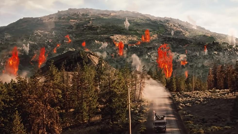
I was only 14 years old in 1980 and I remember my dad following the volcano watches that were issued in April of that year. The USGS had warned there were indications that Mt. St. Helens could have an imminent event. These warnings led to evacuations on the mountain with some refusing to leave.
The Smithsonian Channel documented what happened on May 18, 1980.
NOAA Satellites showed how the Mt. St. Helens eruption appeared from space showing the blast radius with the clouds reaching our part of Wyoming and beyond.
The WIkipedia page for the 1980 Mt. St. Helens eruption shows a map from the USGS showing that Casper had up to a half inch of ash that day into the following morning. The USGS shows that the ash cloud traveled over Wyoming on May 18 and by May 19 caused ash to fall as far east as Oklahoma.
The USGS has released a model of what a Mt. St. Helens eruption might look like if it happened today. It shows that Casper would likely see ash again if the volcano were to blow its top.
Since the eruption 40 years ago, I've seen some Facebook comments about ash being everywhere around our part of Wyoming as a result of the Mt. St. Helens eruption. Do you have any pictures or memories of that day?

NEXT UP: 10 Absolute WORST Tourist Incidents at Yellowstone National Park
More From Wake Up Wyoming