BUSTED: Canada Pumping Artic Air Into Wyoming
(CAUTION: If you don't get satire, move on).
Tuesday morning, 03/28/23, regional meteorologist Don Day, of Day Weather, posted a weather image showing how a low-pressure system was grabbing polar temperatures and pumping it south.
He referred to it as a "PUMP."
But this pump was moving Artic air, not water.
Looking at the map he provided it seemed that we might have a bullseye to see exactly where this weather machine was located.
So I went to Google Earth and zoomed in.
There is only one town in that part of Canada because few people are crazy enough to live up there.
Looking at the map, below, you can see the center of the low.
And look at that airflow getting pumped right down into Montana and Wyoming.
Let's zoom in and see what we find.
If you look closely at the blue you can see Don write the letter "L," for "low-pressure system."
Low-pressure systems turn the air around them counterclockwise.
Zooming in on the area near the center of the "L" we see the Canadian town of Churchill.
Now, who the HELL would want to live out there?
Population 870.
Churchill is a town on Hudson Bay in the far north of Manitoba, Canada. It's best known for polar bears that inhabit the area in the fall, and safaris in raised, reinforced tundra vehicles allow for encounters in the wild. In summer, beluga whales are on view in the Churchill River. The area also offers the chance for wintertime Northern Lights visibility and seasonal bird-watching. (Google).
The town of Churchill is up on that corner.
They offer great polar bear tours if you're interested.
Or maybe they are feeding like stupid tourists to those polar bears. Not sure.
There was actually a military fort up there at one time.
No idea why anyone would want to attack that place.
It's more like an area where you would send prisoners.
Like when Russia sends it's political prisoners and worst criminals to Siberia.
What's near the town of Churchill looks more like an evil science facility.
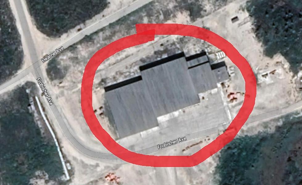
Have a look at this building.
What do you think?
Zooming in we see an airport, with runways longer than the town.
Then there is this suspicious building
Everything else on the map is labeled, except this building.
Why doesn't this building have a name or a label like all the rest?
What are they hiding?
This building happens to be right in the middle of that low-pressure system.
We might be on to something here.
There are a couple of other odd things about this airport area.
Why do they have a polar bear holding facility?
That sounds like a jail for polar bears.
Is that jail for bears that ate tourists?
Not sure what's going on here but, at least that building has a name, like all the rest.
They don't have to go far to capture polar bears in this town.
Just to the east is Polar Bear Alley.
Funny, when I look at this photo I don't see an alley
Don't you need buildings to have an alley?
The best reason I can figure that the Canadians are sending all of this cold our way is that it gets so cold up there they are trying to pump some of it south to provide some relief.
They do this during the winter months in the hopes that we won't notice.
So that's my conspiracy theory and I'm sticking to it.
I hope you were wearing your tin hat while reading this post.
Inside Wyoming Missile Silo For Sale
Cheyenne Radio Studios Get Makeover
More From Wake Up Wyoming


