April Drought Map NOT Looking Good – BUT!!!
Yes, it was a dry winter. The latest drought map, released on April 23rd of 2026, does not look good for many areas across the USA. But hang on, there is a little hope.
Nearly 63% of the contiguous U.S. is in moderate to exceptional drought, primarily affecting the West, Plains, and Southeast.
Key Regional Drought Conditions (April 2026):
West/Plains: Extreme to exceptional drought dominates west of the Mississippi, with Colorado seeing 97% of the state in severe to exceptional drought.
Midwest/Kentucky: Conditions degraded in early April, with Kentucky experiencing its fifth-driest period on record and severe drought expanding.
Southeast: Drought persists and is expected to remain through late July.
California/Nevada: While much of California was initially drought-free early in the year, severe conditions elsewhere have overshadowed this, though localized dryness persists.
Short-Term Outlook: While some areas of the Great Lakes and Northeast may see relief, the overall trend for the central and western US is continued dry, intense conditions.

But - again - there is hope for a wetter spring and summer if conditions continue to line up the way they are. This outlook is driven by a rapid transition from La Niña to El Niño conditions, which is expected to trigger a significant global weather shift.
After last winter, forecasters are afraid to put their necks out there and say that things are looking up.
Right now, the rest of this spring is bringing much-needed showers and snow to high country mountain areas. Now we wait and see if these long-term trends hold out.
We could use your help measuring the amount of rain we get.
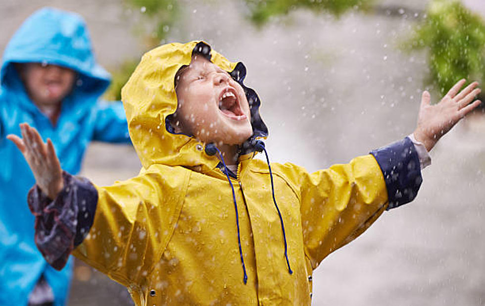
How much rain do you think Wyoming gets annually?
Actually, the number is mostly an estimate, because there are so few rain gauges in the state. That is why we need your help. It is easy and fun.
Data like that is officially collected at airports. Wyoming doesn't have many of those. The state makes up for the collection of data through government buildings, such as a city hall, and volunteers.
But we still don't have many of those.
Recently, on his podcast, Don Day of Day Weather asked his listeners if they would consider being part of a program called CoCoRaHS. Don't worry, it's not a cult.
To fill in the massive gap in rainfall information across sparsely populated states, CoCoRaHS provides a place where anyone can get a proper rain gauge and post the rainfall data they collect.
CoCoRaHS is an acronym for the Community Collaborative Rain, Hail, and Snow Network.
CoCoRaHS is a unique, non-profit, community-based network of volunteers of all ages and backgrounds working to measure and map precipitation (rain, hail, and snow).
By using low-cost measurement tools, emphasizing training and education, and utilizing an interactive website, their goal is to provide the highest quality data for natural resources, education, and research applications.
They are now in all fifty states.
If you would like to sign up as a volunteer observer, click here: "Join the CoCoRaHS Network".
Complimentary training is provided to help you become an effective weather observer. Please check out your state page for a list of current training sessions in your local area. If you cannot make a training, check out their YouTube animations or Training Slide Shows and read their online training information.

Wyoming has gone through many stages. This area has been at the bottom of the ocean; it has been part of a massive inland sea. It has been a swamp with crocodiles. Wyoming has been under a mile of ice more than once.
Now this region is a dry desert plain.
But how dry? Help us find out.
SEE Inside Old Sheep Wagons Trick Out To Astound
Gallery Credit: Glenn Woods
Wheatland Wyoming Flying Adventure
Gallery Credit: Glenn Woods
More From Wake Up Wyoming