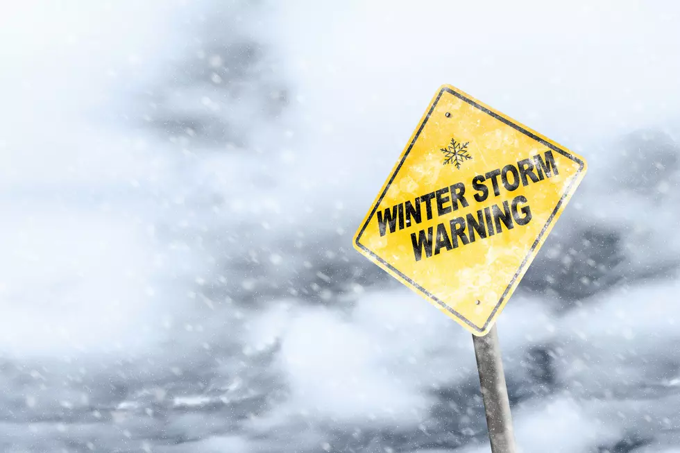
Heavy Snow Possible In SE Wyoming Starting On Wednesday
The Cheyenne Office of the National Weather Service says parts of southeast Wyoming could see heavy snowfall on Wednesday afternoon and evening.
The agency posted this statement on its website on Tuesday:
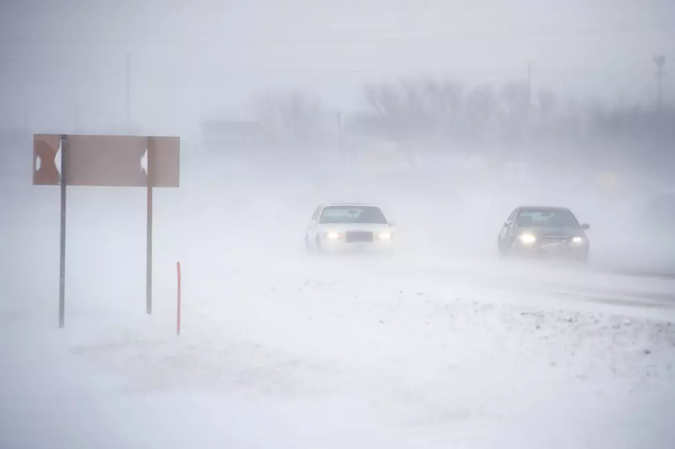
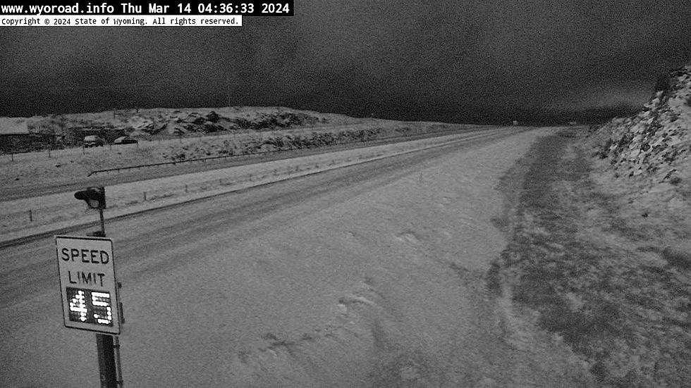
"Getting tired of snow yet? We got more in the forecast for southeast Wyoming and Nebraska Panhandle for Wednesday afternoon through Friday morning. A cold front moves through the area Wednesday with much colder temperatures and widespread accumulating snow possible. We've posted Winter Storm Watches for the Snowy, Sierra Madre and south Laramie Ranges for this timeframe. Snowy and Sierra Madre Ranges likely to see 12-16 inches while the Summit likely to see up to a foot. Southeastern Plains and the southern Nebraska Panhandle may get into the action as well with the possibility of 6-8 inches possible. Plan on winter driving conditions Wednesday afternoon through Friday morning with slick roads and possible travel delays."

Cheyenne's 5 Most Haunted Buildings
More From Wake Up Wyoming