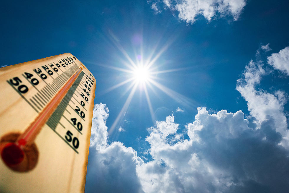
Wyoming Clocked 89 MPH Wind Last Weekend
Windy season in Wyoming has arrived.
It did not strike everywhere in this state over the past weekend. But where it was, it was BIG!
According to the National Weather Service in Riverton, on Sunday morning, the Red Canyon South Pass Areas clocked in an 89 mph wind gust between Saturday, October 11, and Sunday, October 12. Mount Coffin clocked 84 mph.
Other notable wind speeds included Casper Mountain Creek at 78 MPH.
Claud Creek clocked 74 MPH.
Most of the rest of the highest winds around Wyoming were in the 55 to 58 miles an hour gusts.
As usual, there were warning signs on the highways for high-profile vehicles.
Eastern Wyoming is forecasted to have strong winds on Monday, the 13th. You can draw a line from Douglas down to Cheyenne as the dividing line. Everything west of there will be breezy but not bad.
Wyoming winds calm down considerably for the rest of this week. But fear not, this is Wyoming, they will be back.

The state's mountain rangers help form a venturi effect in several areas that concentrate the pressure of the air, making the wind move faster.
Winds in Wyoming feel different because of the state's high altitude.
Winds must have sustained speeds of 74 mph or higher to be considered hurricane-force. This marks the transition from a tropical storm to a Category 1 hurricane on the Saffir-Simpson Hurricane Wind Scale.
So we can say that Wyoming had hurricane-force winds this past weekend.
But the higher we are, the less air there is for these winds to move. Hurricane force winds and sealevel feel far worse than they do at high altitudes. That is why, up here in Wyoming, those winds are annoying, but not as destructive.
Breathtaking Fall Photos From Across Wyoming
Gallery Credit: Glenn Woods
Glenrock Sheep Herders Rendezvous
Gallery Credit: Glenn Woods
More From Wake Up Wyoming