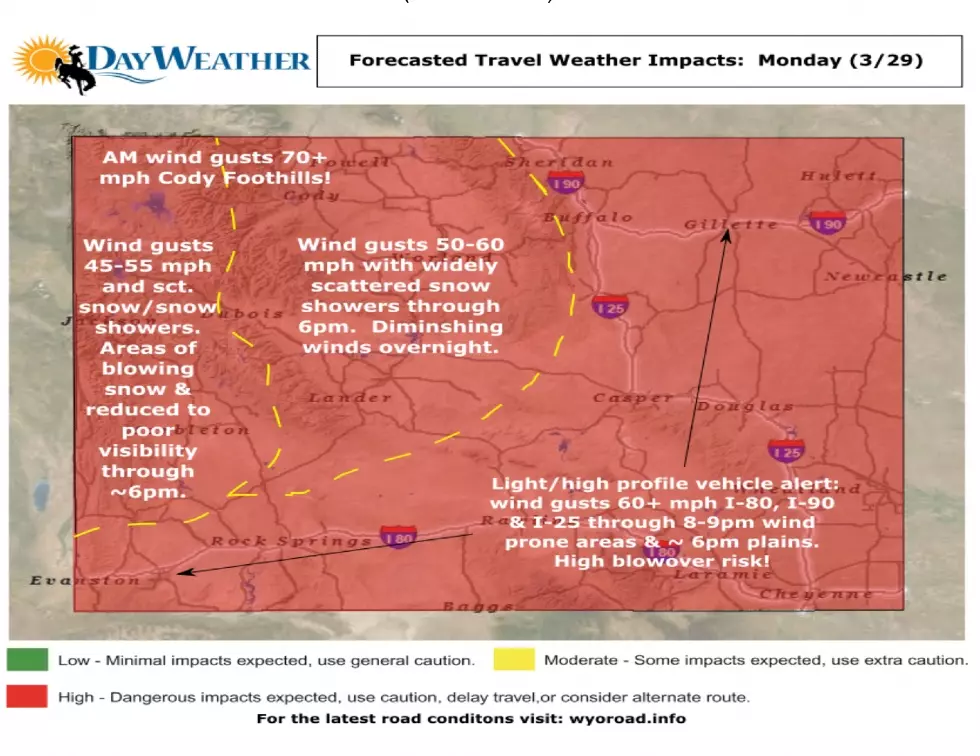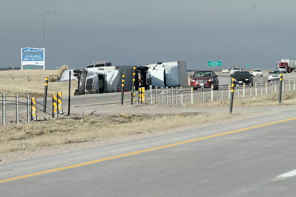
High Wind Watch Issued For I-80 Summit, Other Areas
The Cheyenne Office of the National Weather Service has issued a high wind watch for the Interstate 80 summit between Cheyenne and Laramie as well as other wind-prone areas.
The agency posted this statement on Tuesday morning:
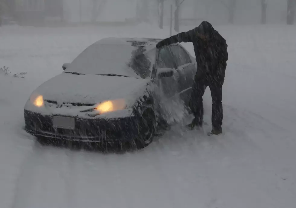
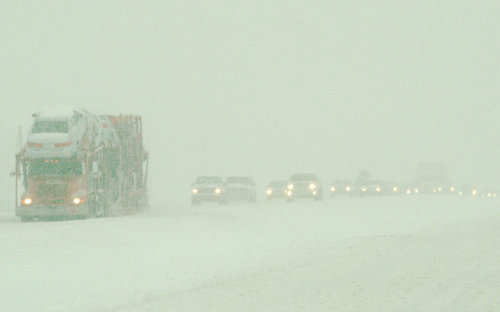
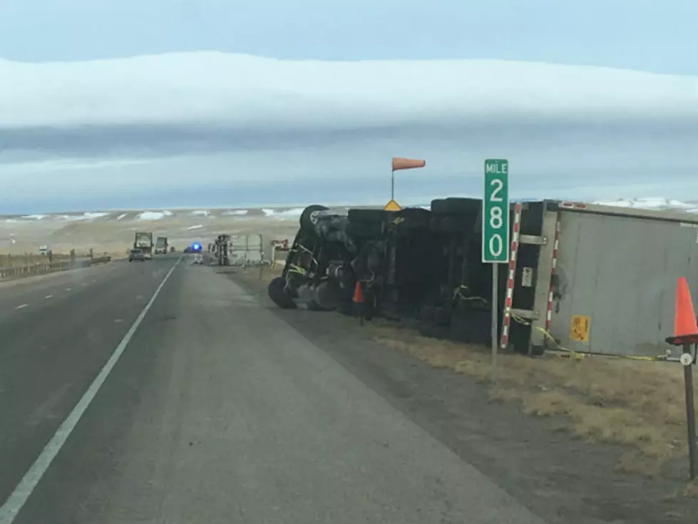
5:55 AM MST December 10th – Tuesday morning will start off partly cloudy and cool across much of the area. Clouds will continue to clear out of the area through this morning leading to mostly sunny skies. Winds will begin to pick up this afternoon and continue into this evening. A High Wind Watch is in effect for the wind prone areas of Southeast Wyoming including Arlington, Bordeaux, and the I-80 Summit starting Tuesday evening. Wind gusts up to 65 MPH will be possible making for potentially hazardous travel conditions for lightweight and high profile vehicles through Wednesday afternoon. Be sure to check wyoroad.info for the latest road conditions.
More From Wake Up Wyoming