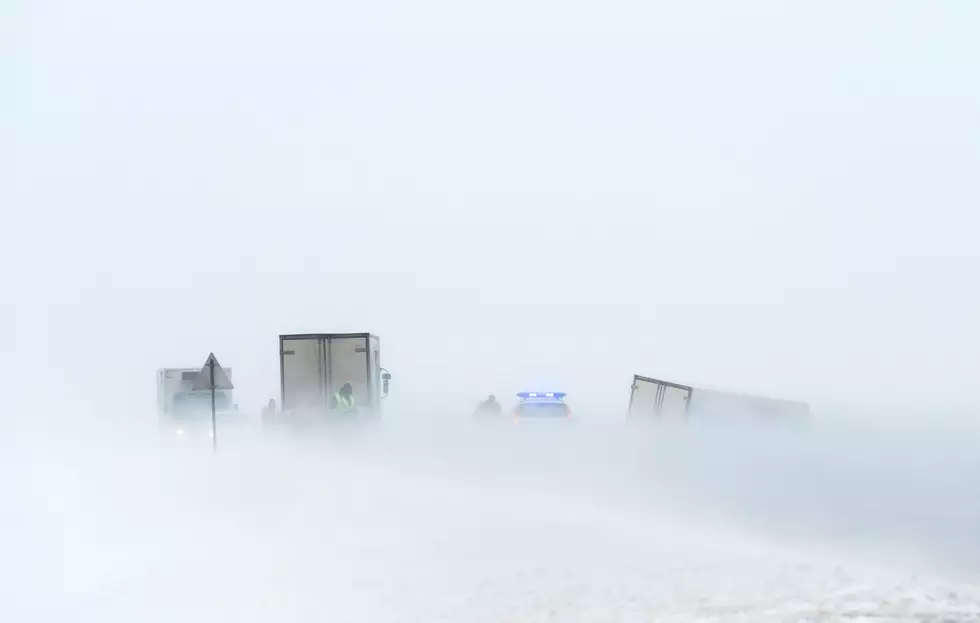
I-80 Summit Could See 3-7 Inches of Snow Over Next Two Days
Portions of Interstate 80 in southeast Wyoming, including the Summit, could see 3 to 7 inches of snow Tuesday through Wednesday, making for slippery, snow-covered road conditions.
The National Weather Service in Cheyenne issued the following statement Monday afternoon:


April 12th 2:45PM: Take a look at the 2-Day forecast for southeast Wyoming and the western Nebraska Panhandle for Tuesday and Wednesday. Periods of fairly widespread light snowfall is expected to occur this week. Starting Tuesday, light scattered snow showers are possible across the region starting Tuesday morning then working eastward to the Nebraska Panhandle. Light accumulations are expected into Wednesday afternoon. Higher elevations such as I-80 Summit and the Snowy Range could receive higher amounts ranging from 3-7 inches. Lower elevations such as Cheyenne, Sidney, and Scottsbluff will range from dusting to 2 inches. Possible travel impacts are blowing snow Wednesday across I-80 Elk Mountain/Arlington. Another wave of scattered snow showers with a larger moisture content will arrive Thursday into Friday which remains with high forecast uncertainty at this time. Check the weather forecast to get the latest updates for your area: weather.gov/cys
5 of the Biggest Spring Blizzards In Wyoming History
More From Wake Up Wyoming