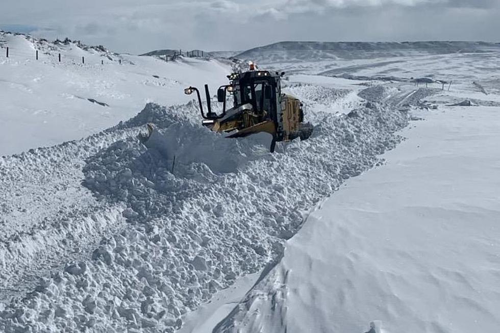
Two Feet Of Snow, 55 MPH Winds Possible In SE Wyoming Mountains
The Cheyenne Office of the National Weather Service has issued winter storm watches and warnings for many areas of southeast Wyoming starting at noon today and running until Friday morning.
Some higher elevations could get up to two feet of snow and see winds of up to 55 mph.
As of 6 a.m., Cheyenne and Laramie were not under any advisories, although snow is expected in both communities. But the summit between the two towns was under a winter storm watch.

The agency posted the following on its website:
UPDATE to Winter Weather Headlines! Winter Storm Watches have been expanded to include the Shirley Mountains and the South Laramie Range. Main hazards in the highlighted areas will be heavy snow and blowing snow. Wind gusts 50-55+ mph possible.
A big pattern change coming today starting with thunderstorm chances this afternoon, then switching over to rain/snow mix and then all snow possible for elevations above 5000 ft. Thunderstorms may be strong to severe due to strong wind gusts. Snow Squalls cannot be ruled out for areas west of the Laramie Range today as well. Thursday into Friday, expect strong wind gusts 40 to 50+ mph possible, mainly across far E WY and the NE Panhandle.
Most Extreme October Weather In Cheyenne
More From Wake Up Wyoming