Hot and Dry Conditions Create High Fire Danger for Parts of Wyoming
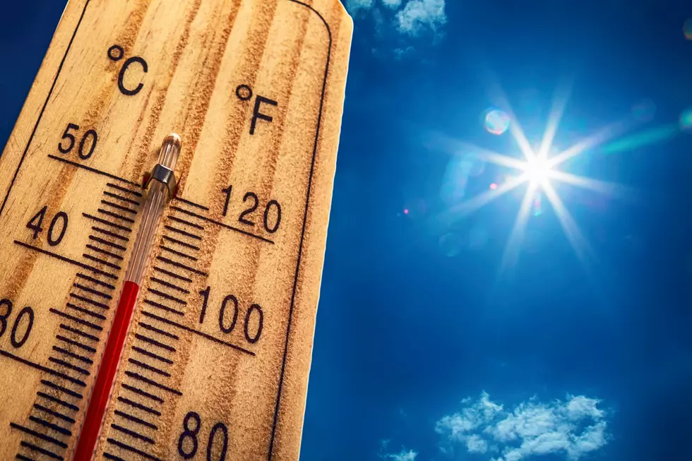
The National Weather Service in Cheyenne says we'll be seeing hot temperatures across much of eastern Wyoming ad into the Nebraska Panhandle today. Afternoon highs in Cheyenne are expected to reach into the 90s, with 100s possible in the Torrington area.
Westerly winds will combine with the hot and dry conditions to create a high fire danger east of the Laramie Range in Wyoming Friday. "Any new fires that start will spread rapidly under these critical weather conditions. Burning of any kind is STRONGLY discouraged," the Weather Service said.
Not much cloud cover is expected this afternoon (outside the mountains) so its important to drink plenty of water and wear lightweight clothing to help your body maintain normal temperatures. -NWS
A Red Flag Warning is in effect for eastern Wyoming into the central part of the Cowboy State from 10:00 AM through 8:00 PM Friday. This includes the Cheyenne, Wheatland, and Casper areas. Humidity near 10% and winds gusting to near 35 miles per hour will combine with the ht temps to create the possibility of wildfires.
A Red Flag Warning means that critical fire weather conditions are either occurring now....or will shortly. A combination of strong winds...low relative humidity...and warm temperatures can contribute to extreme fire behavior. -NWS

The heat is expected to continue through the weekend, with a chance of thunderstorms in the forecast for late Saturday, and especially on Sunday and Monday.

REMINDER: Never Leave Dogs In A Hot Car
More From Wake Up Wyoming