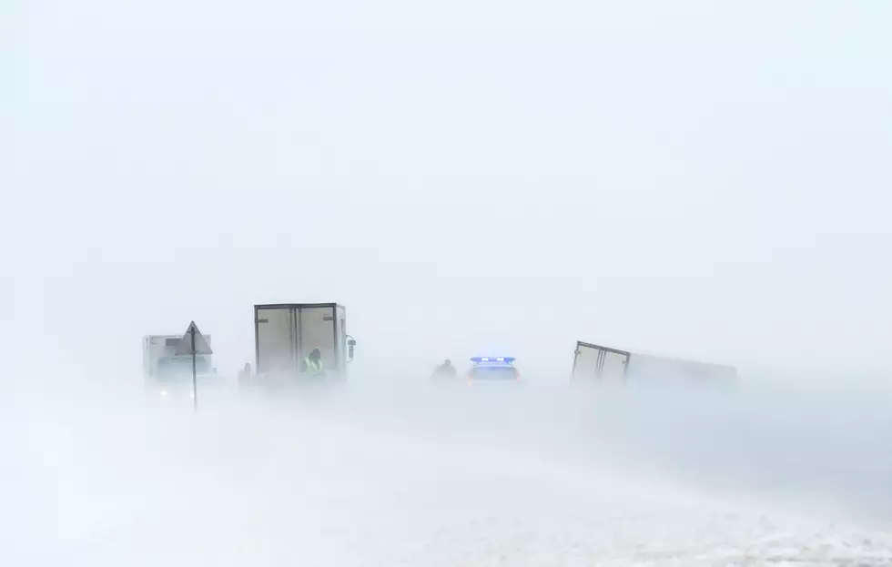
It’s ASTOUNDING How fast Wyoming Temperatures Dropped
When that cold front moved in on Wednesday temperatures across Wyoming dropped fast.
In some places, there was as much as a 40-degree difference in a half hour.
Readings are still coming in from across the state. There is a lot to look at. But what we've seen so far has meteorologists rather excited.
The following data comes from Don Day's daily podcast through Cowboy State Daily on YouTube.
You can watch the entire video below.
This first image comes from Rick Proper in Evansville Wyoming.
Look at that line dropping the temperature and how fast it happens.
It will take your breath away at how low the temperature drops.
Look at the time scale at the bottom.
Casper, Wyoming hit an all-time low of -42 Wednesday night into Thursday morning. That would be the coldest in Casper's recorded history if that number holds to be true.
Numbers coming in from the northern parts of Wyoming, including Buffalo, Sheridan, Gillette, and areas around there show this same sudden drop.
Here is a graph from a Day Weather viewer in Cheyenne.
Follow that red line.
The temperature is on the left. Before the front hit Cheyenne was in the low 40s.
Notice how fast it drops and the time noted at the bottom of the graph.
Records were broken.
There is a lot to analyze here.
Don Day is still receiving numbers.
But you can take a look at what he knows so far by watching his podcast, below.
The warmer conditions should return by Christmas.
Don't expect another blast like this for a while.
WEIRD Wyoming Snow Drifts April Blizzard 2022
Gallery Credit: Glenn Woods
Wyoming Snow Day
More From Wake Up Wyoming


