Dangerously Cold! Wyoming Will See It’s Worse Cold Blast Since 1989
Don Day of Day Weather is actually calling Wednesday into Thursday's weather DANGEROUS!
Daytime highs will be in deep negatives.
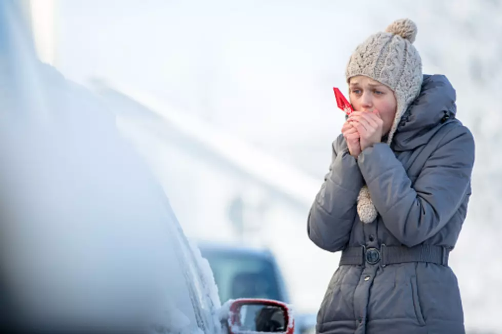
Those windchills are really going to suck.
This is the worst sessional arctic blast our region has seen since 1989.
Actually, temperatures in the '30s for those days sound warm by comparison.
Here is what we are looking at.
Expect snow on Wednesday.
Expect some dangerous wind chill with this artic event.
Day Details
Partly cloudy in the morning then clearing. Brisk and much colder with highs around 20 and below. Wind chill as low as 55 below.
Night Details
Mostly clear. Cold with lows 25 below to 30 below zero. Wind chill readings as low as 55 below.
While that punch of cold is not what anyone wants to hear about, at least it passes quickly.
We are not talking about a full week worth of cold here.
Saturday should be in the 30's.
Expect some breeze as the cold moves out. That will actually make is seem colder than the coldest day.
Christmas Sunday should be in the upper 30's
Here is Don Day's latest forecast update for this weather event. (Day Weather).
Then again, this always depends on where in Wyoming you are. So check your regional forecast for those predictions.
Wyoming terrain varies so much in altitude, high and low, as well as flat prairie to jagged rolling landscape, there will be many differences. But don't worry, the misery will be spread throughout the entire region.
When the air is that cold it can't move much, so don't expect any wind.
WEIRD Wyoming Snow Drifts April Blizzard 2022
Gallery Credit: Glenn Woods
Snow Crushes Wheatland, Wyoming Airplane Hangars
Gallery Credit: Glenn Woods
More From Wake Up Wyoming


