Wyoming Transitions From Drought To Full Reservoirs
The drought across the western states, which lasted several years, has come to an end.
Despite dire predictions from some, the change happened quickly, over the course of one winter.
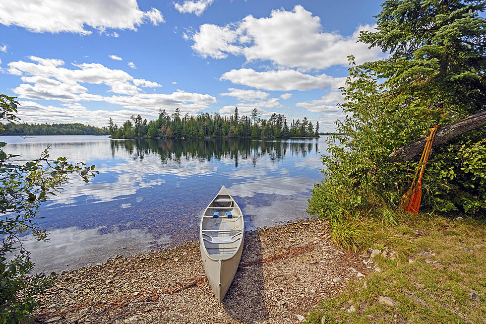
The Wyoming landscape has not been this green in a very long time.
Every stock pond is overflowing.
With all of the snow over the past winter and this wet spring let's have a look at how Wyoming reservoirs are doing.
Starting with Seminoe Reservoir, which is now an impressive 75% full.
There is more to come for Seminoe.
Snow melt and more spring rains will bring that up a bit more.
Current forecasts show more rain through June of 2023 and into July.
This region always shows its summer dry season.
But having so much rain this late in the year is a huge help.
Glendo Reservoir is 88.9% full.
Glendo has not seen a level like that in a few years.
Anyone who loves boating and fishing is going to love hearing that.
Up in the top right corner of Wyoming, the Buffalo Bill Reservoir near Cody is showing impressive levels at 85.7% of capacity.
That area is surrounded by high mountains that still contain a lot of snow.
So the level of Buffalo Bill should climb just a bit more as we move into the summer months and all of those white peaks melt off and the water runs down.
This is great for that high desert area where the farmers and ranchers desperately need that water.
Other bodies of water that might be interesting include:
ALCOVA, at 98.4%.
But there are a few areas that made only small improvements.
Gursney is at 61.9%.
Pathfinder is 53.2%.
Keyhole is at 69.7%.
The find all reservoir listings and dates click this link.
Expect more rain and show for a few more years as we have switched from a La Nina to an El Nino pattern.
If you follow long-term weather trends then you know that things like droughts and wet seasons come and go in almost regular patterns.
These patterns follow the cycles of the sun as it goes through warmer and cooler stages.
That creates a warmer and colder effect in the pacific ocean which will bring us more rain at times and at other times, less.
If the trends continue the last 3 years of extremely dry conditions are coming to an end.
Don Day, of Day Weather, just updated his drought forecast with a lot of great news in it. But also a warning.
The last time climate scientist and computer models predicted an end to this drought cycle, they were wrong. REALLY WRONG!
In this case, it might have been an erupting volcano that spewed ash into the atmosphere and changed everything.
They did not see that coming.
That happens a lot in science.
This is why there is never a consensus in science and why science is never settled.
But this time, they might have gotten the forecast correct.
It looks that way at the moment.
Don Day explains in the video, below.
Already California's snowpack and reservoirs are filling.
That's good news for those low reservoirs.
What you see below is the snowpack for December 2022 through January 2023.
Many areas are far above the recorded average for this time of year.
That's nothing but good news when it comes to busting a drought.
At the same time, the West Coast is being pounded by one wet storm after the next.
All totaled the map below shows 32 trillion gallons of water.
There has been a bit of an alarm sounded over the past few years over western drought conditions.
Reservoirs and rivers were at an all-time low.
It seems as if there have been more years of drought than years of replenishing wet.
But what happened was a switch in the heat being received in the central pacific as the sun cycle heated up.
Have a look at this satellite video of water vapor moving in on the western states.
This was recorded on January 5th, 2023.
What you see the in the above video happened all winter.
California now has more snow than it knows what to do with.
Massive snowfalls set records never before seen.
This spring reservoirs out west have filled, and are still filling as all of that snow melts.
So why did all this wet weather stop for a while, then start up again?
It's all part of natural weather cycles that go beyond our yearly 4 seasons.
Let's look at the shorter cycles first.
Over the past year, Don Day has spoken a lot about La Nina and El Nino.
During El Niño, trade winds weaken.
Warm water is pushed back east, toward the west coast of the Americas.
This means wet weather for the western states of the United States.
La Niña means colder waters in the Pacific push the jet stream northward.
This tends to lead to drought in the western and southern U.S. and heavy rains and flooding in the Pacific Northwest and Canada.
La Niña can also lead to a more severe hurricane season.
About every 10 or 11 years we go through a 2-year La Nina will coincide with the Sun cycles. According to Don Day, we are now on the backside of a La Nina.
More From Wake Up Wyoming