No Big Shock: I-80 Is Closed In Wyoming!
You were warned.
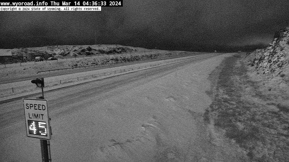
This March storm that moved into the area on Wednesday 03/13/24 has been hard at work overnight into Thursday morning.
The Front Range of Colorado has been hammered.
Southern Wyoming got a good bit of it too.
Much-needed moisture has landed on the prairie areas and our eastern mountains have received a good dusting.
Lighter snow has been falling all the way up the east side of Wyoming past Casper.
Regional weatherman Don Day's forecast for the next few days is below.
From the looks of the WYDOT map, they have been working on rolling closures to keep some traffic moving along Interstate 80.
Early morning travel up Interstate 25 should be easy enough.
But between Glendo and Casper, and north of Casper, it can get a little sketchy.
You can follow the WYDOT impact map at this link.
Click on the menu layers at the top right of the map to select highway cameras.
Then you can see the conditions of the highways you might be thinking about taking.
Snow is forecasted throughout most of Thursday and into Friday.
Then it's just a matter of when the system moves out.
We will be left with cloudy skies and a slow warmup.
When warm air moves in the wind picks up.
That means the snow on the ground begins to blow causing road closures.
The good news is that the weekend looks nice.
As we move through the month we can expect more of these little systems, which are typical for March.
Here is regional weatherman Don Day's forecast for the next few days.
In the above forecast, Don talks about the relatively nice weekend. But what is coming after that?
It's March. If you have lived in this region long enough you know the drill.
March and April have the most unsettled weather of the year.
But that's a good thing.
It's where we get most of our moisture for the year.
Sing along with the video below - WORD IS I-80 HAS BEEN CLOSED.
WEIRD Wyoming Snow Drifts April Blizzard 2022
Gallery Credit: Glenn Woods
Wyoming Snow Day
More From Wake Up Wyoming


