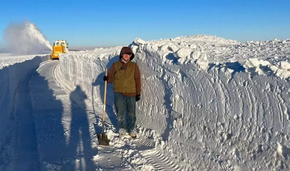
Western Drought Update, March 2023
There is a headline out there from one news service saying that this has been a "Weird Winter."
Actually, it has not.
We are just coming out of a drought cycle and into a wet cycle.
Let's take a look at the current conditions, along with an updated drought map.
The map is from U.S. Drought Monitor.
This first map is of the entire United States and its territories.
There are always some areas getting a lot of rain, and others are not.
After all, we all talking about the weather over an entire continent.
It's never going to be perfect weather everywhere, all the time.
Notice that California is almost completely out of its 3-year-long drought.
But the center of the country is now in severe drought.
Here's a weird one for you, how is Florida showing any drought after they had gone through so much rain and a couple of hurricanes?
Because they have not had much-wet weather since then.
Also, most of Florida's water drains out into the Gulf and the Atlantic rather quickly.
Let's focus in on Wyoming, Colorado, and the Dakotas plus Nebraska and Kansas.
You'll see Wyoming is almost completely out of trouble.
But now the drought has moved to the center of the nation and it is severe.
So why the change?
What happened?
If you follow long-term weather trends then you know that things like droughts and wet seasons come and go in - almost - regular patterns.
These patterns follow the cycles of the sun as it goes through warmer and cooler stages.
That creates a warmer and colder effect in the pacific ocean which will bring us more rain at times and at other times, less.
If the trends continue the last 3 years of extremely dry conditions are coming to an end.
Don Day, of Day Weather, just updated his drought forecast with a lot of great news in it. But also a warning.
The last time climate scientist and computer models predicted an end to this drought cycle, they were wrong. REALLY WRONG!
In this case, it might have been an erupting volcano that spewed ash into the atmosphere and changed everything. They did not see that coming.
That happens a lot in science. This is why there is never a consensus in science and why science is never settled.
But this time, they might have gotten the forecast correct. It looks that way at the moment.
Don Day explains in the video, below.
Already California's snowpack and reservoirs are filling.
That's good news for those low reservoirs.
What you see below is the snowpack's latest update for California.
Many areas are far above the recorded average for this time of year.
That's nothing but good news when it comes to busting a drought.
At the same time, the West Coast is being pounded by one wet storm after the next.
All totaled the map below shows 32 trillion gallons of water.
This map is from the California Department Of Water Recourses.
There has been a bit of an alarm sounded over the past few years over western drought conditions.
Reservoirs and rivers are at an all-time low. It seems as if there have been more years of drought than years of replenishing wet.
That assessment is correct.
But according to regional meteorologist Don Day, who bases his headquarters in Cheyenne Wyoming, there are shorter cycles and there are longer cycles.
Have a look at this satellite video of water vapor moving in on the western states.
This was recorded on January 5th, 2023.
What you see in the above video has been happening all winter.
California now has more wet coming in than it knows what to do with.
This will snow down a bit in mid-winter, but pick up again during the spring.
<strong>So why did all this wet weather stop for a while, then start up again?</strong>
It's all part of natural weather cycles that go beyond our yearly 4 seasons.
<strong>Let's look at the shorter cycles first.</strong>
Over the past year, Don day has spoken a lot about La Nina & El Nino.
During El Niño, trade winds weaken. Warm water is pushed back east, toward the west coast of the Americas. This means wet weather for the western states of the United States.
La Niña means colder waters in the Pacific push the jet stream northward. This tends to lead to drought in the western and southern U.S. and heavy rains and flooding in the Pacific Northwest and Canada. La Niña can also lead to a more severe hurricane season.
About every 10 or 11 years we go through a 2-year La Nina will coincide with the Sun cycles. According to Don Day, we are now on the backside of a La Nina.
More From Wake Up Wyoming


