WYDOT Predicts Road Impacts For Weekend Storm
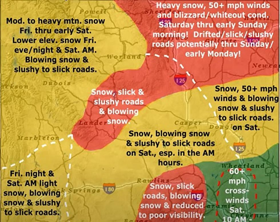
Well GOSH that's a colorful map, isn't it? You can see more of it in the video below.
It's from the Wyoming Department Of Transportation, WYDOT, and it gives us a good idea of what the travel impacts will be in Wyoming through this weekends storm.
You'll notice the heaviest red is in the higher elevations but also in the northeastern part of the state.
They could be facing a complete shutdown over the weekend.
It begins late Friday with a mix of rain and snow. Saturday is the big day for snow.
Note the winds on the map. There will be some big gusts with this thing. Combine the slick roads with heavy winds and that is a recipe for wrecks on the roads.
Blizzard whiteout conditions are predicted for northeastern Wyoming.
The snow might stop falling in northeastern Wyoming on Sunday, but the driving wind will keep the roads closed through Monday.
Areas farther down, like Wheatland, will not get much in the way of snow, if any snow at all. But the winds will be gusting over 60mph.
There are several ways you can watch the road conditions through WYDOT.
They have an interactive map, at this link, that allows you to zoom in and look at color-coated roads to see what their conditions are.
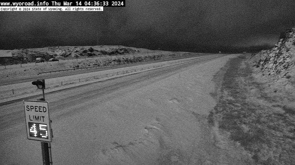
There is a fun menu option at the top right of that page that looks like a stack of papers. Those are additional options. Through that, you can watch WYDOT web cams from around the state. That's always a good time during blizzards.
73 Years Ago The Storm Of The Century Hit Wyoming
Vintage Wyoming Movie Posters
More From Wake Up Wyoming


