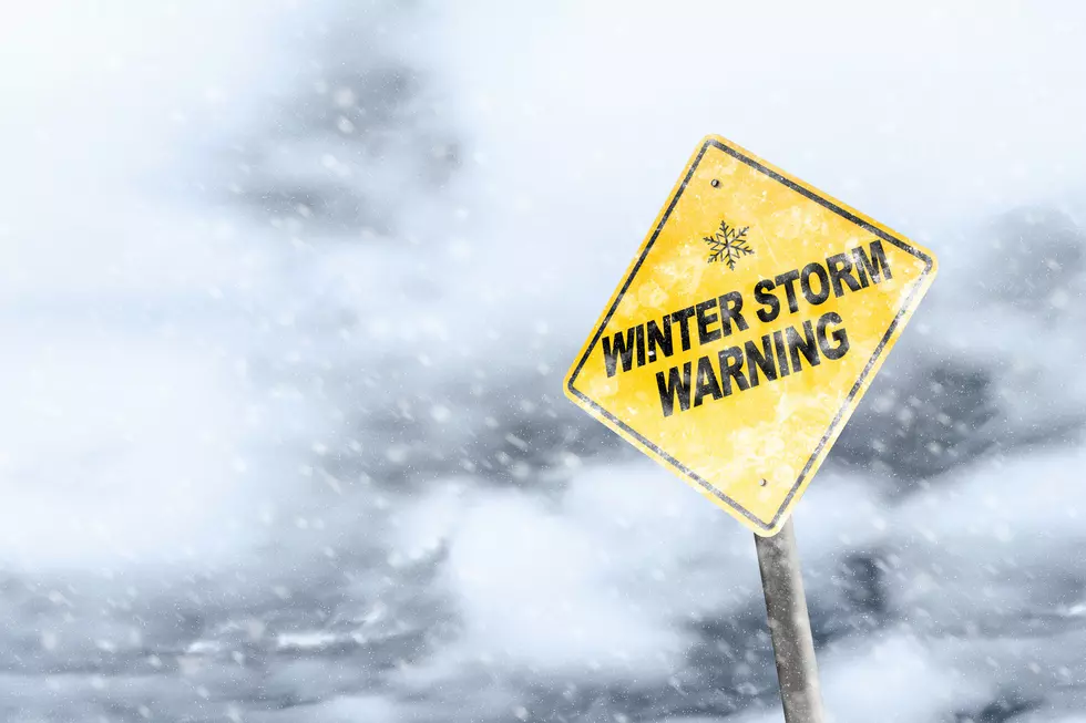
Wyoming Winter Storm Update: Saturday Brings Wind, Snow & More
An impactful winter storm is slowly moving into the Western states of Nebraska, South Dakota, Colorado, and Wyoming
The storm has slowed down as it moves in. This means greater impact.
You can watch a weather video on this storm, below.
We begin with winds and rain for most of Saturday.
Later into Saturday and Sunday, that rain will turn to snow for much of the area.
Most important, watch out for the wind.
From our regional weatherman Don Day, here is what we know for sure:

Expect more wind and rain down in the southeastern part of Wyoming.
Heavy snow from Torrington to Douglas and up to Casper Mountain.
Expect a lot of snow in the Bighorn Mountains.
The worst of the winds will be in southeast Wyoming, Nebraska, Colorado, Kansas, and New Mexico.
As mentioned, watch out for that wind, especially if you are in the southeastern part of Wyoming or down in the front range of Colorado.
The map below shows the predicted wind gusts.
Expect up to and at times above 70 miles per hour for some darker areas.

The ran that is already moving into our area will wrap around the low-pressure system and revisit us, later today, as snow.
Expect most of that snow in the late afternoon on Saturday and Sunday.
Higher elevations will get more snow.
Casper Mountain is a good example.
There will be a lot of snow up on the mountain but much less down in the city of Casper, just below.
The map below shows you the warnings from the National Weather Service of possible snow-impact areas.

The map above will fill in with more weather warnings by Saturday.
This forecast is still evolving.
We will be providing updates throughout the weekend.
Below is Don Day's weather video explaining the latest, in detail.
Wyoming Spring Fever
Gallery Credit: Glenn Woods
An Idiots Guide To Wyoming Spring Flowers
More From Wake Up Wyoming