Category 4 Hurricane Slams Gulf Coast
Laura's maximum sustained winds were 150mph when it hit the coast between Texas and Louisiania. The hurricane has now made landfall near Lake Charles, Louisiana
As with all tropical storms, it began to weaken as soon as it was over land.
Storm surges penetrated as much as 40 miles inland in southwest Louisiana.
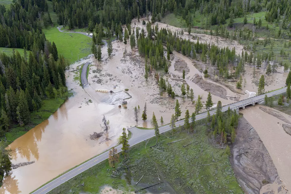
Laura hit with an initial strong tidal surge on the coast, but now the biggest worry are the strong winds and heavy flooding.
The projected track of the storm will cause it to track north then bow to the east. At that point it becomes nothing more than a heavy weather system that will spread out as it moves.
Inland, the storm will flood as far north and east as Arkansas and the Ohio and Tennessee valleys. Isolated tornadoes are also expected.
As of early Thursday morning the extent of the damage is not known. Officials will have to wait for the water the recede to assess the damage.
The good news, according to Don Day from Day Weather, is that Laura is a fast moving storm. Far more flooding happens when storms move slowly or stall

Smokey Wyoming Sunrises
More From Wake Up Wyoming


